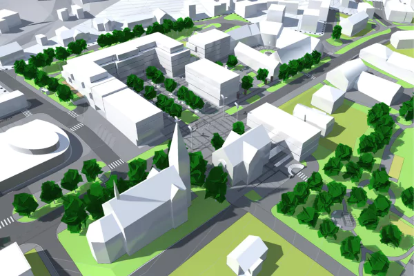
LiDAR Survey
Our LiDAR survey service provides precise measurements of land size and detailed contour mapping. Utilizing advanced laser technology, we capture high-resolution 3D data, ensuring accurate and reliable topographical information. This service is ideal for various applications, including construction planning, land development, and environmental studies, offering precise and efficient land assessment.
